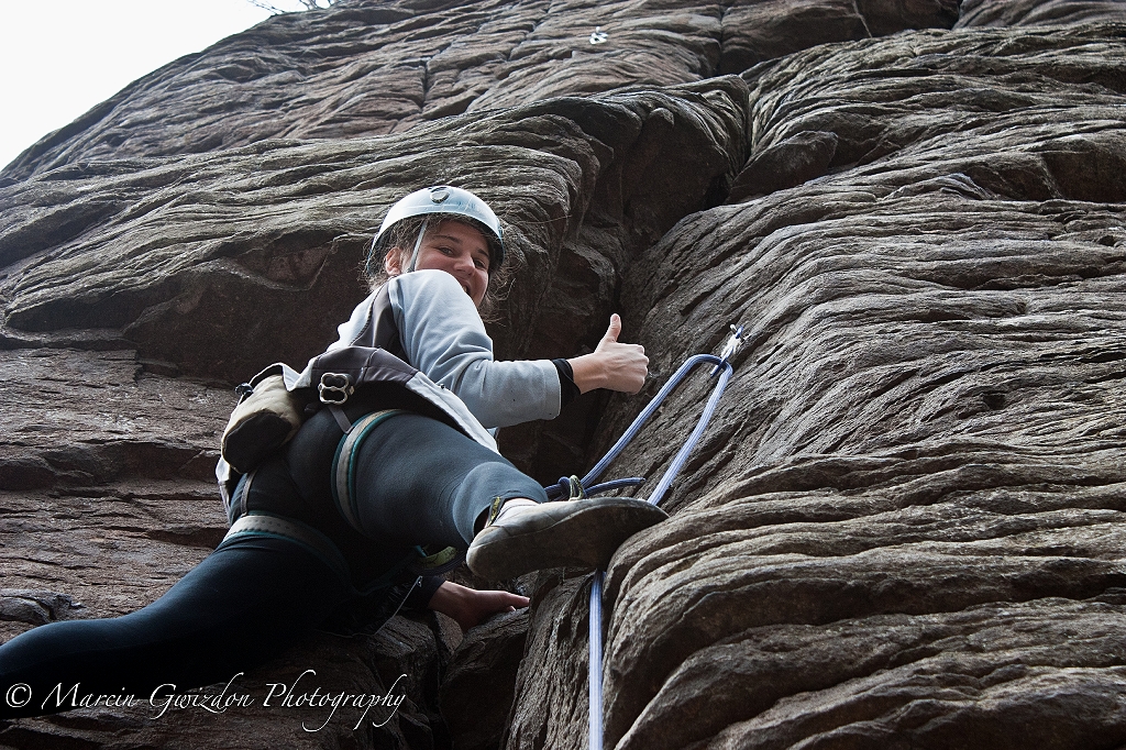
Tuesday, 24 April 2012

ABOUT THIS SITE

ABOUT THIS SITE

When I first set off for Colombia in February 2011 I found that there is not much information about climbing and trekking in Colombia on internet. Or maybe there is but to find out anything you need to visit at least 15 websites and many of them are in Spanish only. There doesn’t seem to be any guidebook either that would cover all those locations. So, after visiting all the climbing and trekking spots listed on this blog, I decided to put all the information collected along the road together and share it with others travellers. If you are not a climber you should still find lots of useful info about some popular places in Colombia. And, if you don’t feel confident enough about trekking independently or want to give rock climbing a try, I also provided information about guide services wherever they are available.

If you find this blog useful in any way PLEASE COMMENT and feel free to buy me a beer (DONATE BUTTON on the right) so I can bring you more up-to-date content about this wonderful place - Colombia.

GOOD LUCK!

Marcin

SIERRA NEVADA DEL COCUY

SIERRA NEVADA DEL COCUY

1. About Sierra Nevada del Cocuy

2. Getting there and away

3. Accommodation

4. Southern Cocuy

5. Northern Cocuy

6. Pan de Azúcar

7. Trekking

8. Other info


Monday, 23 April 2012

2012 Climbing season cont'd

Another day = another climbing day. And at a new place too. This time in Kalamarka, Slovakia. I love the Slovak countryside more and more. And I can't believe so few tourists visit the country. Not to mention climbers. They've got everything - from sport climbing to traditional climbing in Tatras and ice climbing on the waterfalls of Slovak Paradise. Shame.


PAN DE AZÚCAR - NORMAL ROUTE

PAN DE AZÚCAR - NORMAL ROUTE


To get to the base of Pan de Azúcar (and Púlpito del Diablo) follow the trail from Cabañas del Púlpito (the southern access) that passes Finca Hermanos Herrera. It is a wide, well visible horse trail up to Laguna Pintada. From there the path turns left to what is marked as "Hotelito - Púlpito" and gradually becomes a steeper ascent all the way to Campamento Lagunillas - the base camp for Pan de Azúcar. It is a great place for camping with great views, plenty of water and good protection from the wind. From there walk up north to the rocky plateau and follow the cairns (piles of stones) to the border of the glacier. If you are planning to climb Púlpito del Diablo it might be a good idea to set up a camp here. There is water during the day from the melting glacier and some big boulders to give your tent protection from the wind. From the border of the glacier take the route that goes between Púlpito del Diablo and another rock formation on the right. There is a big crevasse next to it so stay well away from it, walk around it and, having the rocks on your right walk towards the final ridge of Pan de Azúcar. Once there stay on the right side of the ridge as there are some cornices there.

Cabañas del Púlpito - Campamento Lagunillas 4.5h
Campamento Lagunillas - border of the glacier 2h
border of the glacier - Pan de Azúcar summit 1.5h

Turn left for Hotelito - Pulpito
The path to Campamento Lagunillas near Hotelito
Campamento Lagunillas with the approach route marked
The bottom of the plateau
The cairns on the plateau
A view of Púlpito del Diablo and Pan de Azúcar
Hiding in a crack from wind
The glacier route
Crevasse near the rock formation
Púlpito del Diablo
Near the final ridge
On the ridge
The summit and a final steeper section leading up

SEE MORE PHOTOS OF EL COCUY ON FLICKR

Wednesday, 18 April 2012

SIERRA NEVADA DEL COCUY: CLIMBING PART 2

SIERRA NEVADA DEL COCUY: CLIMBING PART 2

NORTH

ERN COCUY

In this part of the massif you will find the highest mountains of Sierra Nevada del Cocuy: Ritacuba Blanco and Ritacuba Negro as well as La Aguja and Picos Sin Nombre. It is a 2-day trek from Cabañas de Kanwara to Laguna El Avellanal  - the base camp for the East Faces of the Ritacubas. The base camp - Las Playitas - for the "normal routes" is located in the western part of the mountains, 3 hours from Cabañas de Kanwara.


A good topographic map can be found HERE


RITACUBA BLANCO (Ritak U’wa Blanco)
elevation: 5,410m / 17,749ft

NORMAL ROUTE

The normal route (access from the west) is a relatively easy, non-technical climb, though basic glacier travel gear is required. It takes 4-5 hours to reach the summit from the base camp (follow the rocky paths and then moraine to access the glacier) and another 2-3 hours back.
Here is a Summitpost page with more detailed description of the route and some photos.

EAST FACE

 (access from Laguna El Avellanal)

“El Llano en Llamas” 5.10c / A2 (Daniel Anker)


It is the northernmost route on the East Face of Ritacuba Blanco (Route number 1* on the photo)

* There are a at least 2 variants of this route - “Blancanitos” and “Hermano Sol, Hermana Luna”


“Tierra de Condores” 5.12, 800m (Fernando Gonzalez Rubio, Ivan Calderon, Simon Kehrer, Helmut Gargitter, February 2010)

Route number 4 on the photo

“Viviendo Entre Tinieblas” 5.10 / A2+, 800m (Fernando Gonzalez-Rubio, Matteo Mazzieri, Hernan Wilke, 14 January 2003)

This is one of the most representative Big Wall climbs in Sierra Nevada del Cocuy
Route number 2 on the photo


RITACUBA NEGRO (Ritak U’wa Negro)

Elevation: 5,290m / 17,355ft

NORMAL ROUTE (access from the west)


The normal route passes a very thin and exposed ridge with cornices and drops up to 500 metres. Some snow/ice sections may have up to 70% inclinations

Here is a Summitpost page describing the route
 and a Video of the most difficult part of the route


EAST FACE (access from Laguna El Avellanal)

“Avellanal Estéreo” 450m, (Ricardo López, Fidel Pinzón, Henry García, 12 January 2009)

Very detailed description (in Spanish) with photos on Henry García’s blog
Photo of the route here

“Arista Nororiental” (The Northeast Ridge) 5.9, 600m (Juan Pablo Ruiz, Marcelo Arbeláez, 1978)

16 pitches with a couple of sections of an easy A1 artificial climbing. Good ledge around the 8th pitch for a bivouac (portaledge not necessary)
Description of the route
 here
Photos of the route, 
approach, and the first four pitches of the route.

LA AGUJA

Elevation: 5,000m / 16,404ft


East Ridge route
Access: on the way to Laguna El Avellanal turn left before Laguna de la Isla
see a map here
Good description (in Spanish) with photos on Henry García's blog

PICO SIN NOMBRE
Elevation: Elevation: 5,000m / 16,404ft


Access: from Laguna El Avellanal
Good photo of part of the route here
Check out Henry Garcia's blog for photos and detailed description

Read more: Pan de Azúcar

SEE MORE PHOTOS OF EL COCUY ON FLICKR

Monday, 16 April 2012

Twitter Delicious Facebook Digg Stumbleupon Favorites More

 
Design by Free WordPress Themes | Bloggerized by Lasantha - Premium Blogger Themes | Bluehost Review